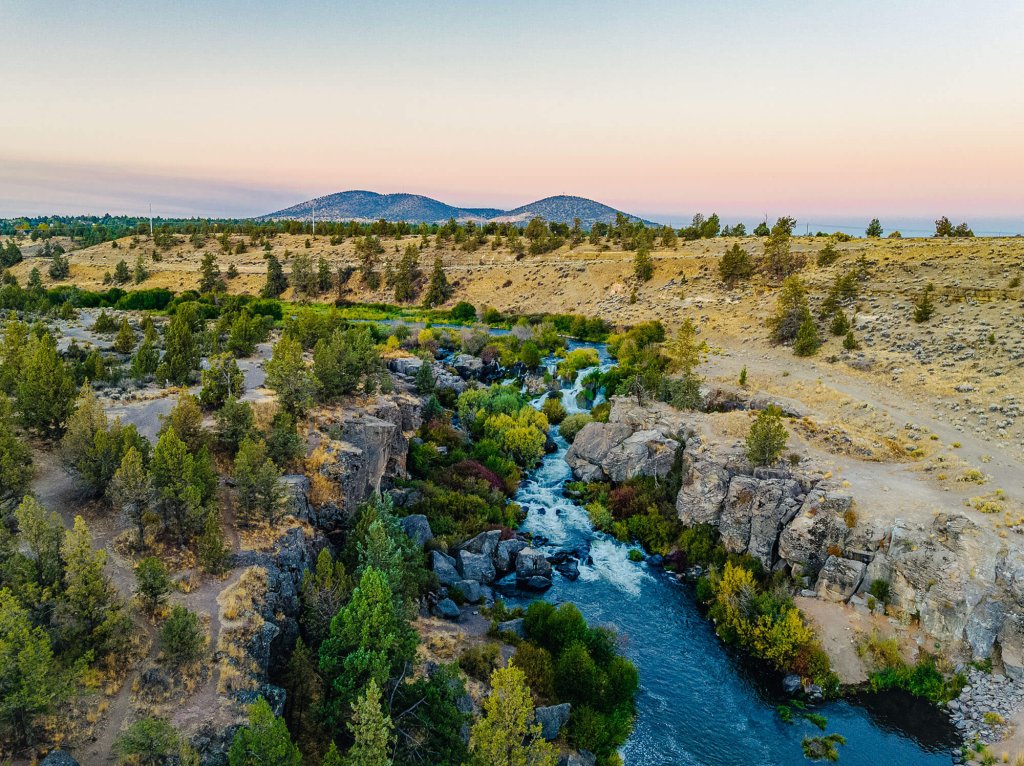
From a distance, Black Butte looks like it doesn’t quite match the picturesque alpine mountains that surround it. The volcanic rock that emerges above the tree line gives the impression of a hill constructed with loose stones that was carelessly dropped in the middle of the woods.
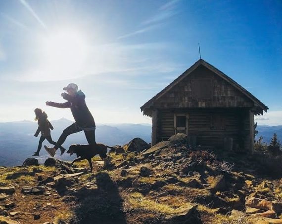
Unlike the Cascades that puncture the horizon to the west and north, Black Butte can be hiked and enjoyed in under four hours. The hike is fairly steep, and with an elevation gain of 1600 feet from start to summit, the two-mile accent is a great workout. The Butte might be small in comparison to the surrounding mountains, but the panoramic view offered from both trail and summit is impressive and unique.
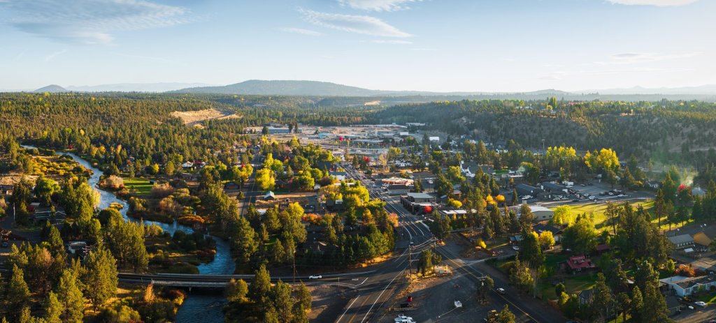
Black Butte is only a short drive from Sisters; from Sisters, head west on Hwy 20 for approximately five and a half miles, then turn right onto Green Ridge Road (indicated by a sign for Indian Ford campground). Follow Green Ridge road for about four miles and turn left on Forest Service road 1110, marked with a Black Butte Trailhead sign. Continue along this rough and winding road for about five miles to the trailhead. The road dead ends in a parking lot that is situated about half way from the valley to the top of the Butte. The only available restrooms are in the parking lot, and no drinking water is accessible, so you will need to bring enough water for your hike. Also remember to bring a sweatshirt or light jacket, as the temperature might drop considerably when you gain elevation.


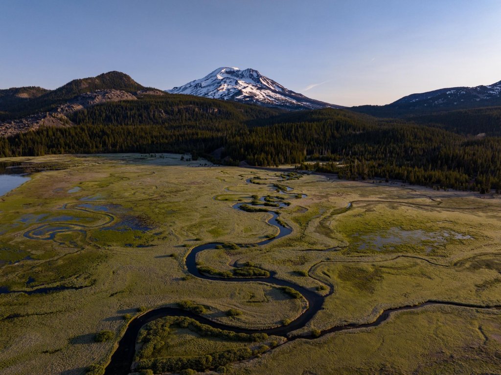
The trail begins with a steady climb through old-growth ponderosa pine trees, so massive in scale that they almost shade out the forest understory completely. Splashes of sunlight pour down from gaps in the canopy of these western yellow pine to bathe the giants, various shrubs and underbrush, and the downed trees that litter the forest floor. As you gain elevation, the temperature becomes cooler, and the green umbrella overhead begins to recede, allowing the first breathtaking views of the valley below. As the valley opens up and the trees recede, the golf course, meadows and forest of Black Butte Ranch spread out below, dwarfed by the enormity of Broken Top and South Sister mountains.
After a little more than a mile, the trail winds through a treeless brush field, lit with the color of beautiful wildflowers in the spring. The view of the plains below expands as the meandering trail wraps around, and low flora give way to a weather-beaten forest of lodge pole pine and subalpine fir that cover the top of the butte. To the east, miles of evergreen forest unfold below, unobstructed by the charred trunks that stand testament to the wildfire that raced up this side of the Butte in 2009. Looking up the mountain, you will see the silhouette of the modern fire lookout tower rising over 60 feet into the sky. The trail continues under the tower to the summit, and ends at the entrance of the Butte’s first permanent fire tower.
The all-encompassing 360 degree view from the pinnacle is magnificent, and on a cloudless day you can see 10 mountains with astonishing clarity. To the west, Broken Top, South Sister, North Sister, Belknap Crater and Mt. Washington create an impressive skyline; while looking out toward the northeast, Hayrick Butte, Three Fingered Jack, Mt. Jefferson, Mt. Hood, and Mt. Adams span into the distance all the way to Washington state! The crest of Black Butte is a great place to enjoy a snack or lunch, take photos, or simply bask in the beauty of your surroundings. And when you’re finally ready to leave, the trip down is along the same trail, with awe-inspiring views that you might have missed on the way up.