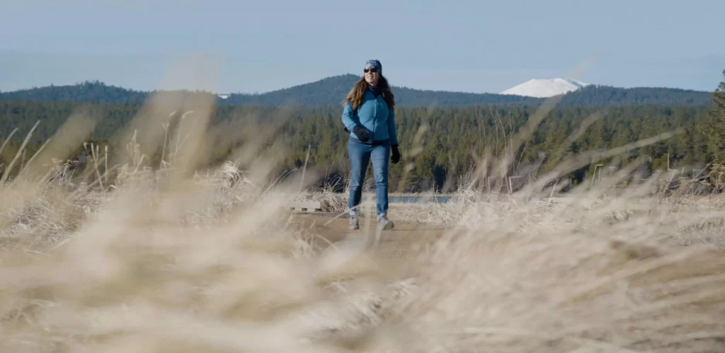
The McKenzie River National Recreation Trail runs about 25 miles north-south in the heart of the Cascade Range, rarely losing sight of its namesake waterway and connecting visitors to some of Central Oregon’s most beloved outdoor destinations.
As it heads through lava flows and old-growth forests, the McKenzie River Trail (as it’s most commonly known) dazzles hikers and mountain bikers with countless natural wonders—above and beyond the clear, greenish-blue waters of the McKenzie River itself.
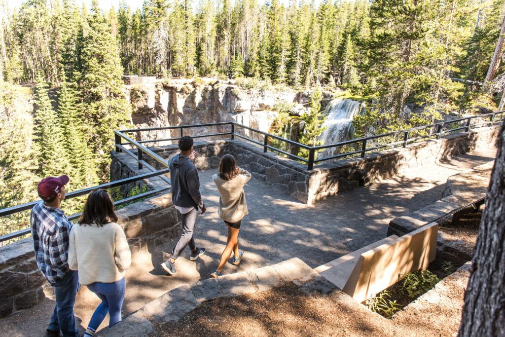
Highlights include views of the appropriately name Clear Lake (adored for its teal hue), the Great Spring (the headwaters of the McKenzie River), Sahalie and Koosah Falls (a pair of dramatic waterfalls in quick succession), and the always-popular Tamolitch Falls (Blue Pool)—where a cliff-lined basin, fed by underground springs and a seasonal waterfall, surrounds a crystal-clear pool in the river. Those needing a break can enjoy one at nearby Belknap Hot Springs—an old-school resort that’s home to a pair of hot-spring pools. In autumn, brilliant fall foliage lines large stretches of trail.
Most visitors enjoy day hikes on shorter sections of the trail, but dedicated backpackers can pitch a tent at Paradise Campground along the McKenzie River for an epic overnight outing. Mountain bikers, meanwhile, prefer tackling the trail’s twists and turns—and several local outfitters are happy to help with rentals and shuttle services.
Open Season
Year-round; snow and ice may cover portions of the trail between November and April.
Dog Friendly and/or Leash Rules
Leashed dogs are permitted.
Best time to visit
May-Sept.
Don’t Miss
Sahalie and Koosah Falls are at their roaring peak between December and April, and leaves on maple trees along the trail turn red, orange, and yellow in autumn—making it one of the region’s best destinations for fall foliage.
Fees or Pass Needed
None
Restrictions
Motorized vehicles and stock are not permitted on the trail.
Activities
Hiking
Biking
Viewpoint
Parking
Parking areas can be found at trailheads all along the trail; these typically fill to capacity in summer, so try to arrive by 9 a.m. on weekends between June and early September.
Directions
The northernmost trailhead is about 31 miles west of Sisters via Highway 20 and Highway 126; other trailheads can be found further south along Highway 126.
Other stories
More inspiring stories, adventures, and tips & tricks for planning and experiencing the best Central Oregon has to offer.
-
What to Bring on Your Next Central Oregon Hike
With Cascade peaks dotting our skyline and clear mountain lakes enticing paddlers — not to mention thick forests, craggy volcanic features, and wide-open deserts all comprising our landscapes — there are several summers’ worth of outdoor experiences to enjoy around Central Oregon. But before you hit the trail this season, make sure you’re prepared. Here’s what to bring — and what to know about making the most of your next Central Oregon hike (whether it’s your first or 101st).
-
The Scenic Waterfalls in Central Oregon
Is there anything more satisfying—anything more awe-inspiring—than gazing upon a thundering waterfall, its raging waters tumbling over ancient rock walls? Does it get any better than seeing a waterfall reach full boil in the midst of an otherwise quiet river as it crashes through a rock-lined canyon?