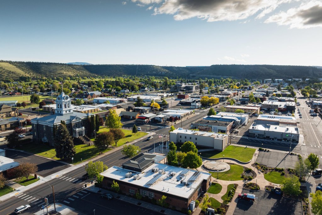
Bend sits at the doorstep of Central Oregon’s famous high desert—and the Oregon Badlands Wilderness Area offers a fascinating introduction to the region’s sunbaked ecology.
In all, the Oregon Badlands comprise nearly 30,000 acres—largely atop a massive shield volcano just under the surface. In fact, most of the Badlands’ distinctive natural features are associated with volcanic activity of one form or another: Cracked pressure ridges line the landscape, and the area’s soils were largely formed with ash that erupted from Mount Mazama—now known as Crater Lake—nearly 8,000 years ago.
Fortunately, the hike doesn’t make you work too hard to enjoy that natural history: This particular outing only gains about 220 feet over the course of roughly 3 miles as you pass sagebrush bushes and gnarled, cinnamon-hued juniper trees (some of which date back nearly 1,000 years). In winter, you may spot mule deer, prairie falcons, and golden eagles along the way.
The trail’s turnaround point is Flatiron Rock, a striking rock outcrop that’s visible more than a half-mile away. The trail briefly ascends into its citadel-like interior, where you can peer out over the Badlands and spy several Cascade peaks to the west.
As you hike to Flatiron Rock, keep in mind that nearly 50 miles of trails crisscross the Badlands—and that doesn’t account for the many user-created trails above and beyond that total. Trail junctions in the Oregon Badlands are generally well-signed, but it’s easy to get turned around—so be sure to stay on marked trails at all times, and download a map from the Bureau of Land Management website before setting out.
Directions to Trailhead: From Bend, head east on Greenwood Avenue (U.S. 20) for 16 miles. At milepost turn 16, turn left at a sign for the Flatiron Rock Trailhead to turn into the parking area.
Distance: 6.3 miles to Flatiron Rock
Elevation Gain: 220 feet
Difficulty: Easy-moderate, due to distance
Additional Information: Visit the Bureau of Land Management’s Oregon Badlands website for information about the wilderness area, along with recommended hikes, a map, and a brochure.