When you visit Bend, Sisters, or other cities in Central Oregon, you might notice yourself a bit more out of breath than usual. Even those in good shape find themselves breathing a bit harder while hiking to alpine lakes, shredding our fast and flowy mountain bike trails, and snowshoeing through our peaceful forests.
That’s because the elevation of Bend, Oregon, is 3,623 feet above sea level—where your body might have to work a little harder to get the oxygen levels that it’s used to back home.
That’s because of Central Oregon’s unique topography within the state—east of the Cascade Range and at a higher elevation than on the west side of the mountains. Given that dramatic mix of ecosystems, Central Oregon is where snow-capped peaks collide with high-desert forests and winding rivers begin their journeys surrounded by lava flows and arid rimrock. It’s possible, for instance, to spend your morning driving from the city of La Pine (roughly 4,235 feet above sea level) to the summit of Paulina Peak—which is just shy of 8,000 feet above sea level.
So if you’re curious about that topography, we’ve put together an explainer that dives into the elevation and altitude of Bend and Central Oregon—and looks at the following topics:
Table of Contents
Read on for more about the Bend, Oregon, altitude, and other insights into our dramatic elevation.
Is Bend Considered High-Altitude?

It depends how you look at it. If you’re coming from sea level and are floating the Deschutes River, hiking into the mountains in Central Oregon, or camping within Newberry Crater, our region may certainly feel like it’s high altitude—and your lungs may work a bit harder.
But it’s not that easy, since there’s no established definition of “high altitude.” Your cookbook, for example, may consider you to be at altitude if you’re 2,500 or 3,000 feet above sea level. But a generally accepted rule of thumb is that you’re not truly at “high altitude” until you’ve reached 8,000 feet above sea level—higher than the summit of Paulina Peak and just about 1,000 feet below the summit of Mt. Bachelor.
The High Desert Terrain
All deserts are not created equal. That truism is never more clear than in Central Oregon, where the high desert terrain bears little resemblance to the lower-elevation deserts you may see in other regions across the United States. But why is that?
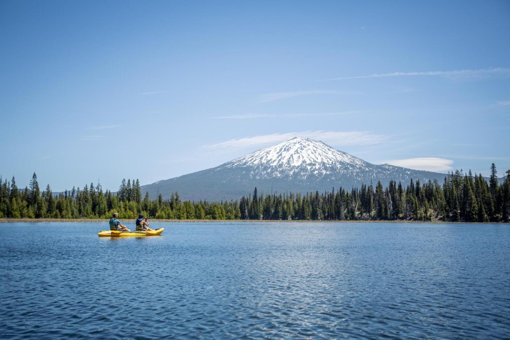
It all dates back some 30 million years, when the first of several lava flows began forming the rocky terrain we all know and love today. As the world shifted under our proverbial feet, the Cascade Range rose to the west—with the tallest peaks in Oregon topping 10,000 feet in elevation. That considerable height—up to 6,000 feet higher than most of our modern-day communities in Central Oregon—creates what’s called a “rain shadow” that stops most precipitation from falling in our area. (This is why you’ll enjoy views of snowy peaks, even into August, and why the forests in Central Oregon are so green and majestic.)
As a result, communities across Central Oregon receive just 12 to 18 inches of rainfall annually. Remarkably, that’s too much for us to officially call the region a “high desert”; technically speaking, our region sprawls across what’s called a “shrub-steppe”, with grasslands and lava flows taking the place of cactus forests that most of us associate with traditional deserts.

Varying Elevation Across Central Oregon

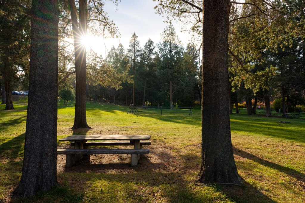
We’ve already established that the Bend, Oregon, elevation is about 3,600 feet above sea level—leading to warmer days and cooler nights than what you might experience west of the Cascade Range. But elevations may shift dramatically as you travel across Central Oregon, and even slight changes may be felt in a variety of ways. Here’s a look at a few cities, their elevations, and what that means for you:
Sisters: The Wild West-inspired community of Sisters sits at the doorstep of the Cascade Range—and is the first city many visitors come to when arriving in the region. But despite its close proximity to the mountains, Sisters is about 3,180 feet above sea level—giving it a climate comparable to Bend, even at a lower elevation.
Redmond: Sitting in the heart of our scenic region is Redmond, which rests roughly 3,075 feet above sea level. That’s about 500 feet lower than Bend, and Redmond’s place in the heart of the high desert makes it a little warmer than Bend in summer—and a little chillier in winter.
Sunriver: The community of Sunriver sits at about 4,165 feet above sea level—roughly 565 feet higher than Bend. And while that may not seem like much, the higher elevation typically translates to slightly cooler temperatures. As such, Sunriver sees far more snowfall than its busier neighbor to the north: 60 inches of snow falls in Sunriver annually, while just 34 inches fall in Bend.
For more on the peaks that make our region so special, explore the history of the mountains in Central Oregon.